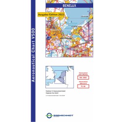
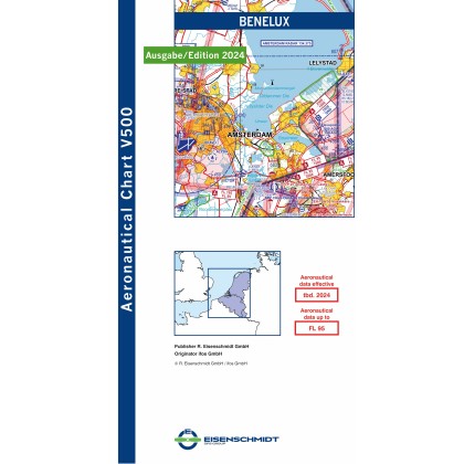
ICAO Visual NL 2024 Benelux
Levertijd 3/5 dagen!
Benelux: The Aeronautical Chart V500 is the first aeronautical chart for the rest of Europe that corresponds in quality and design to the Aeronautical Chart ICAO 1:500,000 and is therefore the optimal chart for VFR flights to neighbouring countries. Due to the selected sheet layout, each neighbouring country is extensively illustrated on the country editions. The map shows the Netherlands, Luxembourg and Belgium.
The Visual 500 contains the latest and currently valid topography and air traffic control information such as
VFR reporting points
aerodromes with name, place name and frequency as well as length and orientation of the runway and location of the traffic circuit
Information on the aerodrome circuit, display of aerodrome heights
FIS sectors with frequencies
Gliding areas, hang gliders and microlight aircraft areas, parachute jump areas and balloon launch sites
radio navigation equipment (NDB, VOR, VOR/DME, VORTAC) with name, frequency and Morse code identification
Aviation Obstacles and Maximum Elevation Figures
Isogons
Motorway designations
Integrated coordinate ruler
The back of the card displays the following information:
ATIS and VOLMET frequencies
Semi-circular flight altitudes VFR and VFR remote control
Information on the altimeter setting
Light signals

